


by: COMMANDER ENTERPRISE
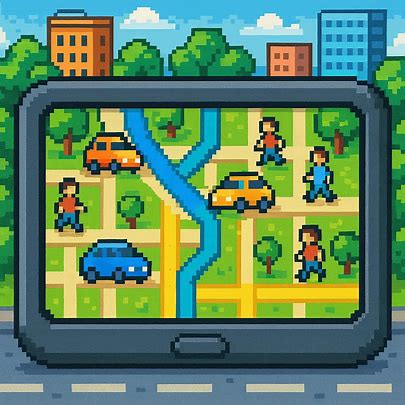
One of the benefits of smartphones and tablets today is their GPS navigation and locating system. They’ve been proven useful for all sorts of locating, mapping, and navigating, which is pretty much anything that involves going out and arriving from point A to point B, and anywhere in between.
Once one steps out of that door to go to any location, the GPS system proves a handy and useful tool to get there and to not get lost. It can pinpoint where the specific location is, show the best routes, and guide the person to the destination.
GPS Then, And GPS Today
GPS, or Global Positioning System, involves networking with several key points that pinpoint locations via signals between satellites and also receiver towers. Formerly used by the US Military exclusively, a basic version of it is now a staple in smartphones and car navigation systems. It seems that most people with a well-equipped phone and/or car won’t get lost anymore and get to where they are headed.
When speaking of the real ‘OG’ GPS, the actual system was first developed for use by the US Military to help its Air Force, Army, and Navy have a proper navigation system. They integrated all their developments into a unified ‘prototype’ system that became a precursor to what we use today. They used radio signals to communicate with orbiting satellites to pinpoint locations and provide more accurate mapping and navigation.

This was further developed and made a common service when President Bill Clinton approved its civilian use in the USA in the ‘90s. It was initially used for emergency location purposes in coordination with 911, and it snowballed from there to become a staple service widely available to all.
GPS Smartphone And Device Usage
The original GPS as a standalone device has improved over the years with greater precision and reliability. However, with the integration of basic GPS systems into smartphones and tablets, it is now more available and more common.
The basic GPS system now exists on most smartphones and tablets through navigation apps, satellite signals, or a combination of different methods. There are also other systems that combine it with mapping.

Practical applications range from the more common usage for tracking the phone and its owner and mapping and directions, to locating common and key places and determining coordinates. It’s a key feature for driving, as most newer cars also have a GPS unit built in.
With many common smartphones and tablets now having this feature, a more accurate version exists in the form of A-GPS, or Assisted GPS system. It has more accuracy in locating and mapping by maximising and optimising the signals. It’s especially useful for crowded areas where there may be interference and difficulty in getting them from the source satellites.
Smartphones can easily do this because it has their own mobile network. Many of today’s phones use a combination of methods to optimise this service, using two or three methods for a more precise A-GPS system. They are often assisted by a Wi-Fi internet connection and also tower stations to get a better and more accurate system going.

There are a few variations of the GPS system. Among the more well-known ones that appear on many phones today are Glonass (Global Navigation Satellite System), and Beidou.
The former was developed by Russia, and with its implementation, it now enjoys global use with many phones. They add extra networking to the overall GPS system and further strengthen signals in cases where there may be limited access due to interference, obstruction, and other factors. The latter is a Chinese version exclusive to Asia, but is now gaining widespread use due to more new phones that have added the feature to their own GPS systems.

GPS Caveats?
However, with A-GPS tracking and other assistance components involved, the system does take up a lot of energy, and will definitely drain the battery. The stronger the GPS system on the device, the more energy it takes up, especially on the first activation, when it communicates with satellites and receives location information. While more steps have been taken to ensure better battery mileage in most phones that carry this feature, we don’t have a lot of options.
We do have mapping and saving from maps, turning off GPS when not in use – as in totally turning it off as opposed to a standby state which still has it running behind the scenes. You can also charge again and load on power, something that’s not as easy and convenient to consider, especially when most of the GPS activity is done outdoors on a smartphone or tablet.

Then, there’s the issue of tracking and user privacy. We all know that there are a lot of GPS-based tracking apps and devices in use these days that have been criticised for intrusion of privacy, such as those used for employees, or those apps that are implanted on phones without the user’s knowledge or permission. They accurately track people and items, but not necessarily with the blessing of the person. Again, we take the good with the bad with advanced technology and duly accept its ‘double-edged sword’ properties, leaving it to the user and their purposes.
Another issue with GPS is some of the case-to-case basis instances of lost users or inaccurate directions or locations. There have been instances wherein users have been led to completely different locations or have been given the wrong directions to a destination. A few other issues were recounted as inaccurate, not from the destination areas or directions, but from the actual place that turned out to be completely different.

A few lesser-known cases involved others that may be from inaccurate or unupdated locations from mapping services such as Google Maps. This is more of an update issue, perhaps, when areas or locations drastically change, or when places or establishments have been destroyed, rebuilt, over, replaced, or taken out of a specific area before the map was created.


Leave a reply to More Than a Feeling: Trusty Smartphone Sensors – Towards Harmonious Civilization Zine Cancel reply